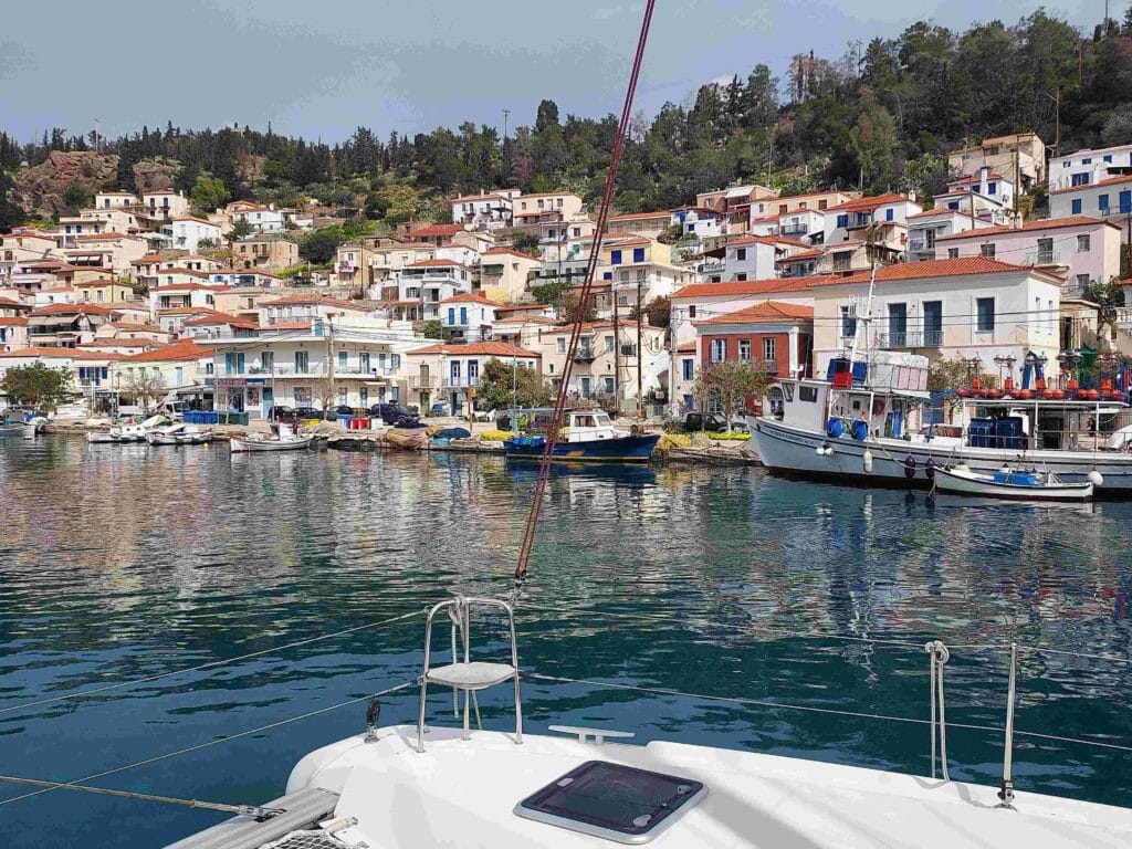
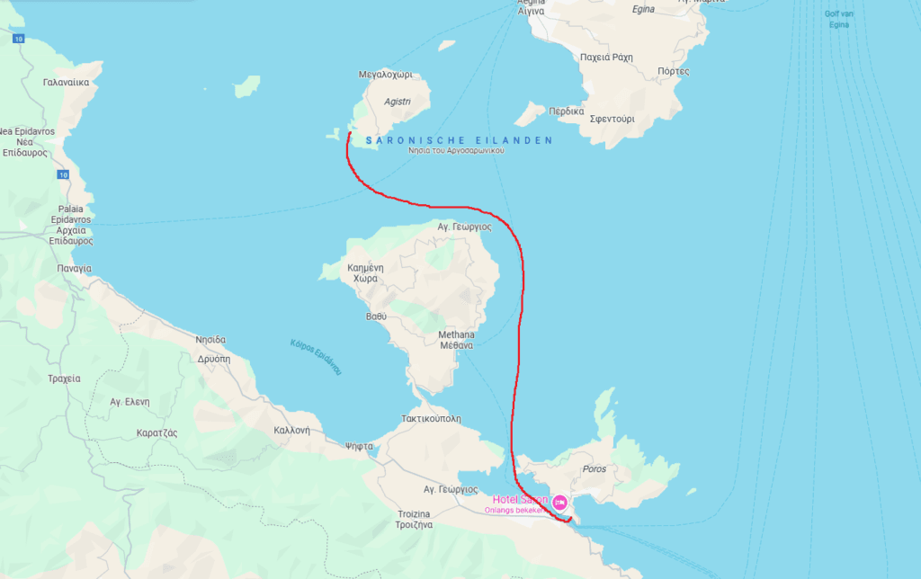
We had heard great things about the island of Poros, located further south in the Saronic Gulf, so we cast off from Perdika on Aegina and headed south.
That’s the beauty of sailing in Greece—out of the 6,000 islands, you’re almost never more than 2 or 3 hours away from your next destination! Though to be fair, I should nuance that: only 227 of those islands are inhabited, and they’re definitely more fun to visit than a barren 3m² rock 😉.
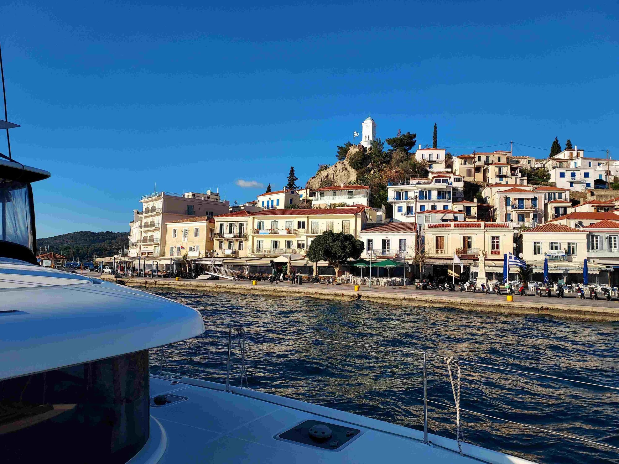
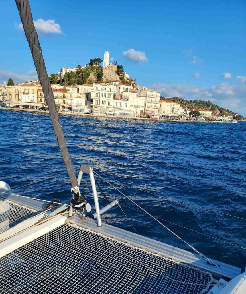
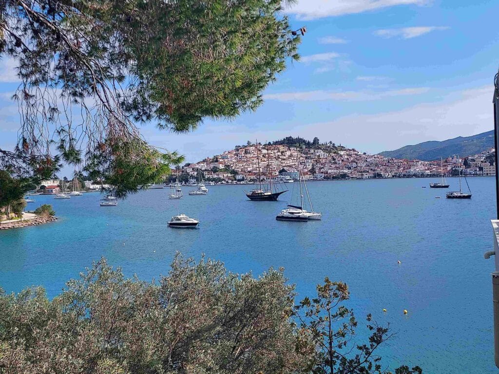
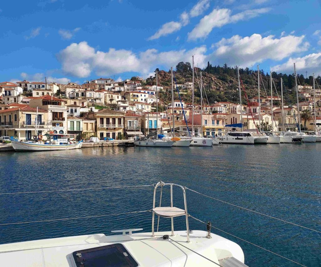
This time the sail was about 2.5 hours (12 nautical miles), and as soon as Poros came into view, we were struck by how charming it looked, with its neoclassical houses painted in cheerful colors.

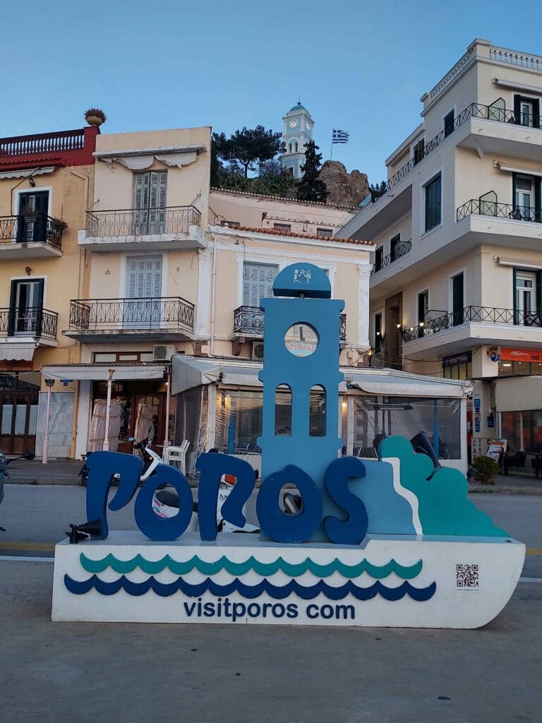
Poros
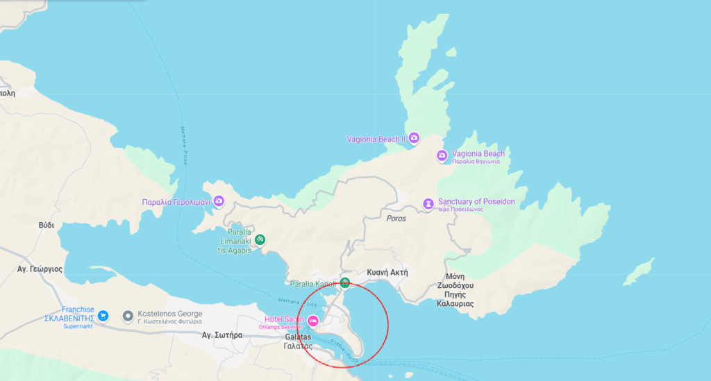
Poros is made up of two parts: a smaller volcanic island, where the capital Poros Town is located—and where most sailors head, as it’s the most picturesque (see red circle)—and a larger, greener section covered in pine forests that lies above it. The two parts are connected by a narrow isthmus and together form the island of Poros.
We sailed past the smaller part and spotted a wide opening along the southern quay, just the right size for our catamaran, so we docked there.
Blue Clock Tower
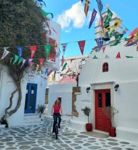
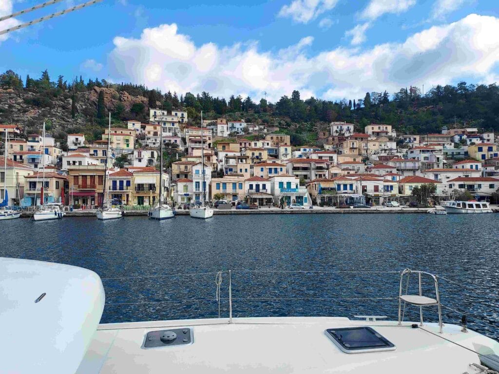
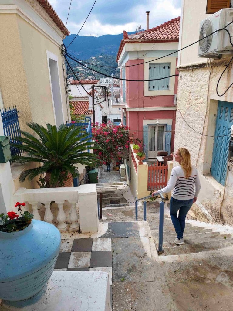
We immediately set off for a walk around the island, and the word “volcanic” wasn’t an exaggeration: Poros is built on a hillside, so we climbed plenty of stairs. But it brought us to some of the nicest spots and let us enjoy getting pleasantly lost.
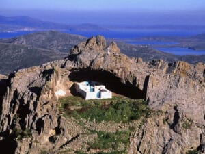
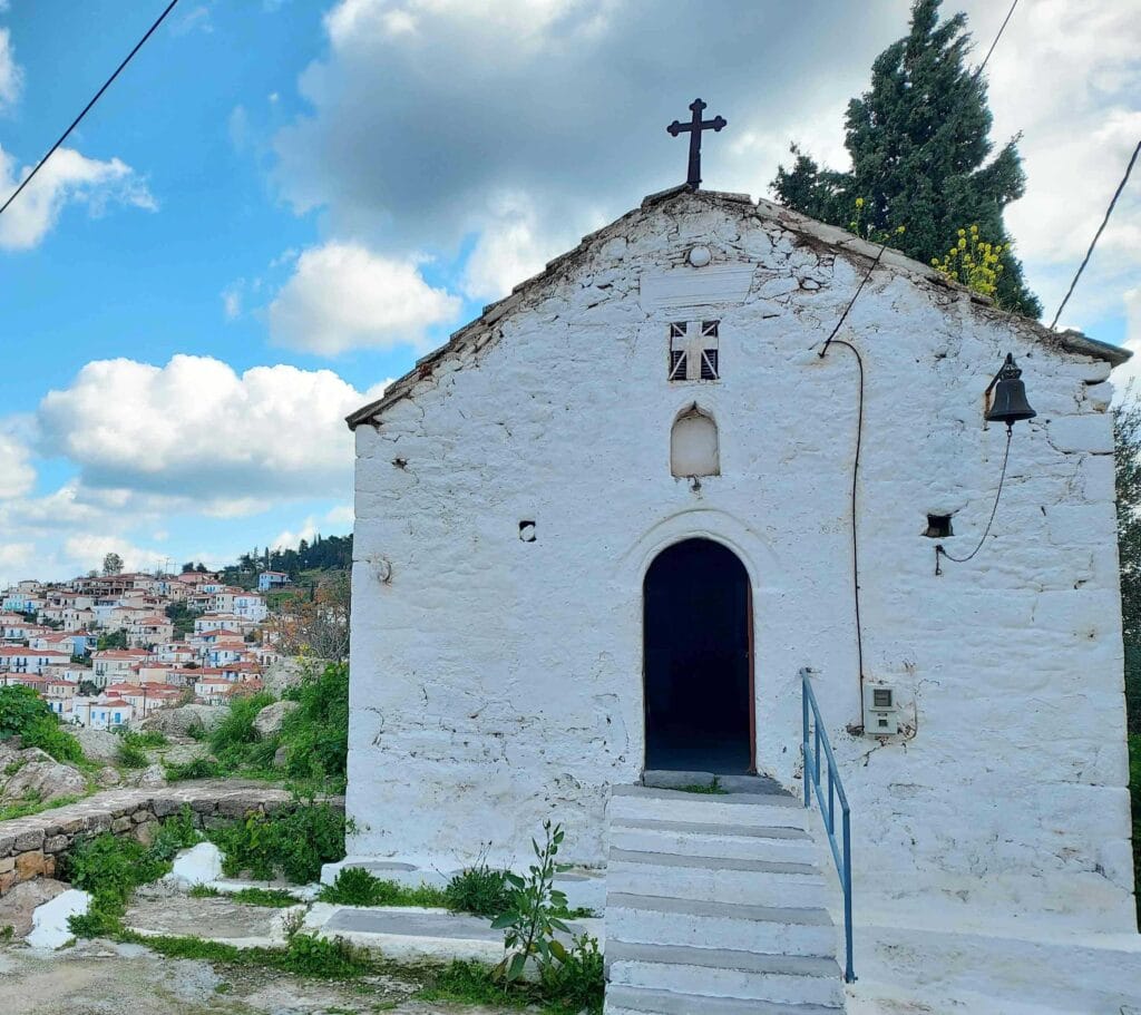
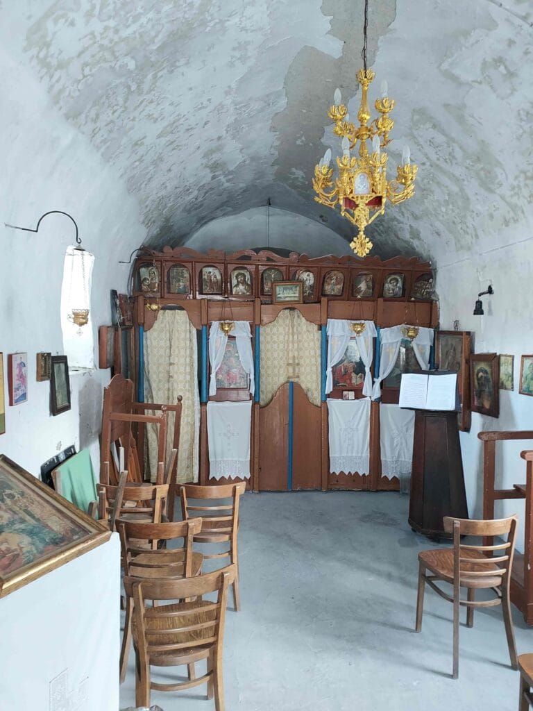
That’s how we stumbled upon this little church.
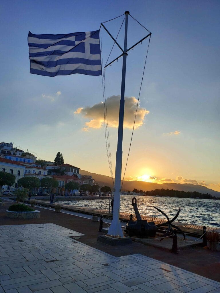
And the most famous landmark in Poros is the blue clock tower from 1927, beautifully depicted on the quayside of the harbor as a symbol of the island.
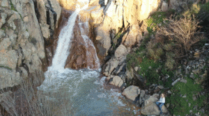
Russian Bay
We also went cycling—crossing the bridge to the larger part of the island above. It’s mainly covered with pine trees (a wonderful scent after being at sea for a while!).
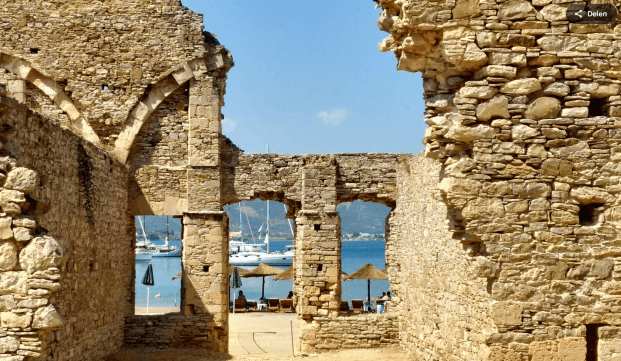
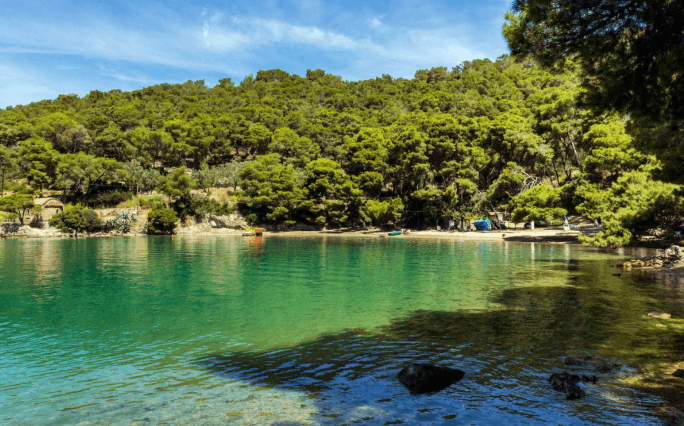
We cycled to Russian Bay, which used to be a Russian naval base. After the Russo-Turkish War (1770), Russia gained access to all Ottoman ports. This allowed the Russian fleet to operate freely in the Saronic Gulf, and Poros was chosen as a supply base. They built an extensive complex there with warehouses for weapons and provisions, a coal depot, and ovens to bake bread for Russian warship crews.
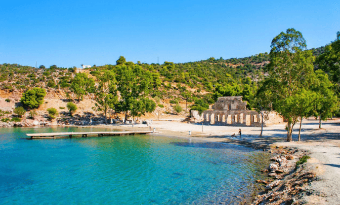
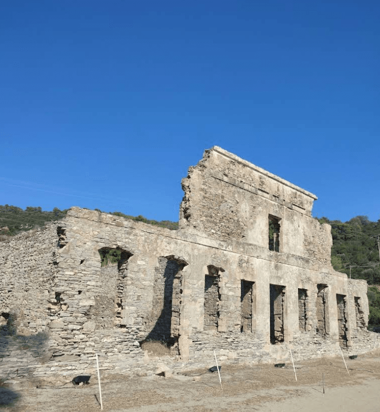
In 1839, the Russians were asked to hand over the facilities to the Greek state, which planned to use them for the Greek navy. In exchange, Russia received a larger location (Vladimir Bay). Russian Bay was never really reused after that and slowly fell into decline. In 1989, the site was declared a protected monument by the Greek Ministry of Culture, including a 100-meter buffer zone around the buildings.
You can still see the amphitheater-like ruins made of natural stone, creating a dramatic backdrop for a peaceful bay with clear water. The remnants of the warehouses and bakeries, with their arches and facade structures, are clearly visible. The location is now known as “Russian Bay Beach” and is popular for sunbathing, swimming, and weekend events with music and live entertainment.
View of Poros
We cycled on, and thanks to the hilly terrain, we had a lovely view of the smaller part of Poros, with the blue clock tower and our harbor spot clearly visible below.
Love Bay
Next to Russian Bay lies Love Bay, also on the upper part of Poros. We had high hopes—romantic and idyllic. So, we parked our bikes at the sign and walked down to the beach.
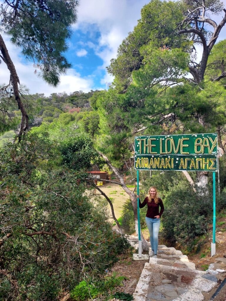
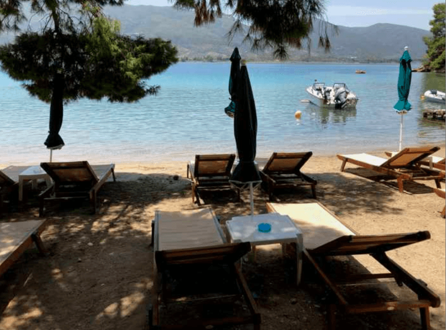
It was indeed beautiful, with clear water and a crescent-shaped beach, but like many attractive spots, it had a bit of a touristy vibe with sunbeds and beach bars.
What we enjoyed most was cycling along the gently sloping coastal road, peaceful and with gorgeous views.
Walking the Promenade
Back in the harbor, we took a stroll along the promenade. As we sailed in, we had already noticed how lively and inviting it was. In the evening, when the heat of the day subsided, many people strolled along the quay, enjoying the sunset on the west side of the island.
Broken Wind Meter – Up the 22-meter Mast!
We planned to set off early the next morning, but Gilles said, “Hey, the wind meter isn’t showing wind direction or speed!”
That’s a bit of a problem when you want to sail. Since we were anchored safely in this sheltered harbor, there was no better time to replace the wind meter. Using binoculars, we could even see a missing part—perhaps lost to a bird, strong wind, or general wear after six years.
So, Gilles and I went over what needed to be done: disconnect the cable of the old wind meter, unclip it, install the new one. I would go up, and Gilles would hoist me in the bosun’s chair using the winch. We also used a backup line in case the main one failed.
I’d been up the mast twice before to loosen a stuck line, but this time I had to go all the way to the top—22 meters high—where the meter sits!
Up I went, with my pouch holding the new wind meter, pliers, and some WD40 (in case the old one was stuck due to saltwater, sea wind, and lots of sun!).
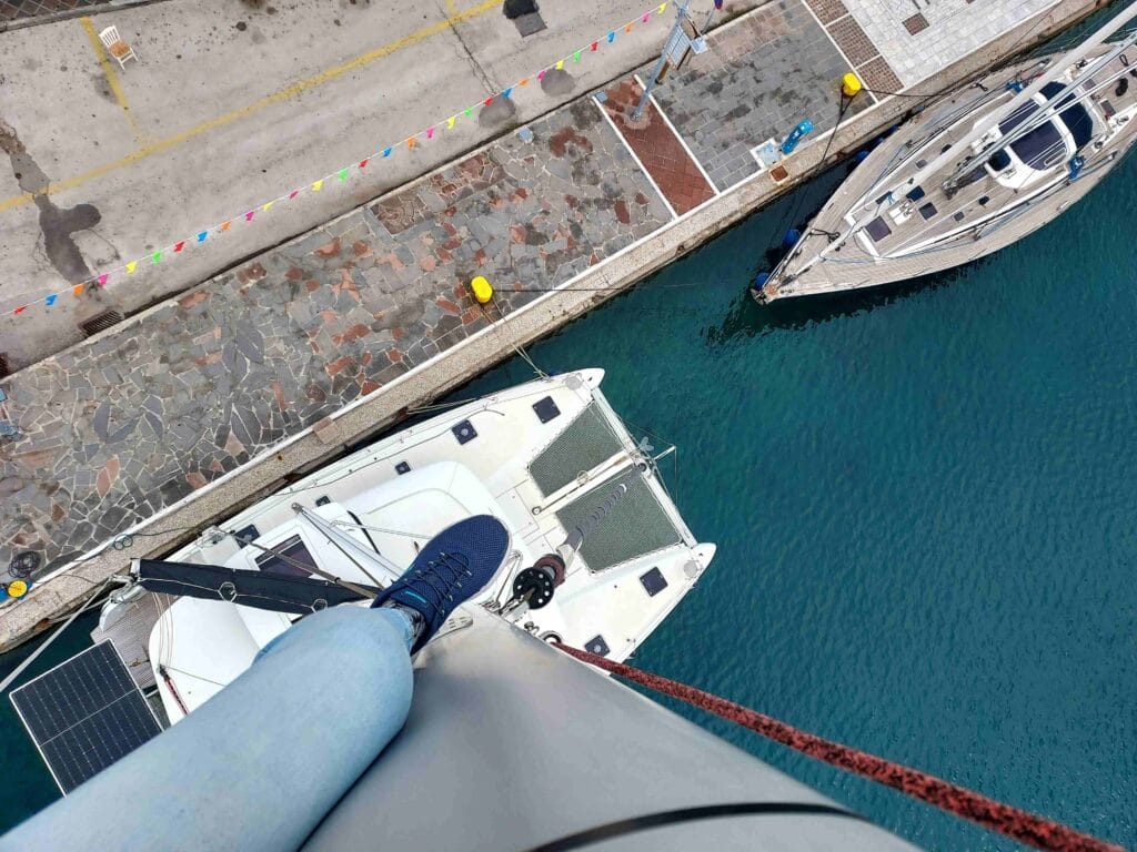
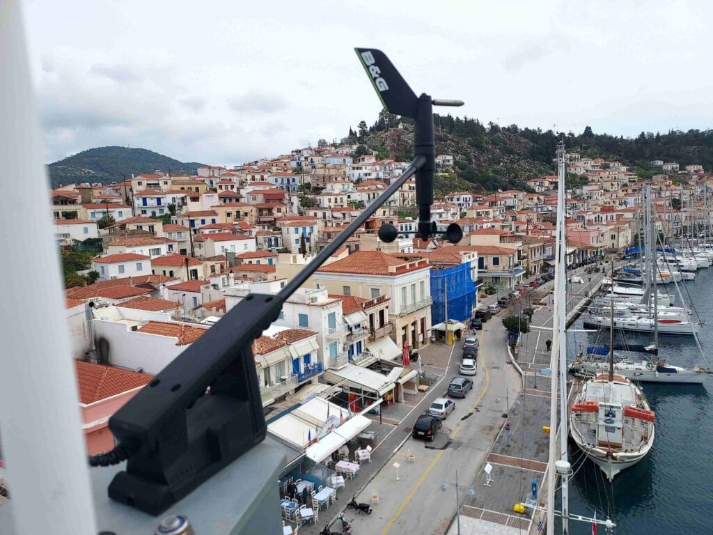
Everything went smoothly—I was able to replace the meter. At one point a ferry sped past and then you really feel how much more you sway at 22 meters compared to being on deck 😉. But all went well. The new wind meter worked!
I filmed everything: what it looks like at the top of the mast and the new wind meter in action!
Big thanks to fellow sailors Marco and Bianca Clazing, who had a spare wind meter from their Lagoon42 catamaran and gave it to us 1.5 years ago—it came in super handy!
It just goes to show how important it is for sailors to help one another. Finding a shop that can order a wind meter? With luck it might arrive in a week—but you’d be stuck waiting!
Thanks to this, we were able to depart just half an hour later, heading to our next destination in the beautiful Saronic Gulf. Poros has definitely earned a spot on our list of favorite islands here!